Gallipoli AR app: bringing the ANZAC story into New Zealand classrooms
A Waxeye case study
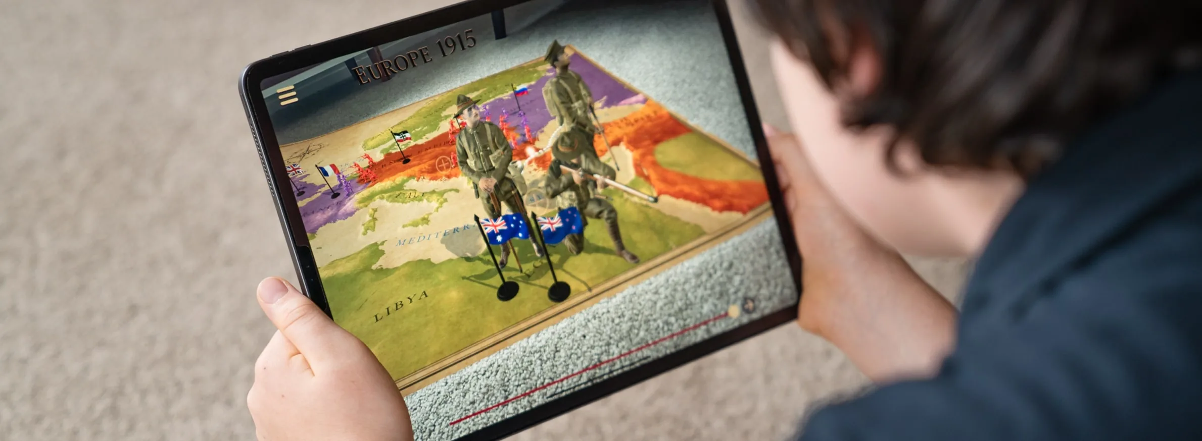
We worked with Ngā Toa Charitable Trust to put Gallipoli on the classroom table. Through an iPad, students watch the campaign unfold in 3D in front of them, from the road to war to the evacuation in January 1916.
- Client
- Ngā Toa Charitable Trust
- Learners
- Years 7 to 12
- Platform
- iOS, designed for iPad
- Built
- 2019
- Story
- Military historian Christopher Pugsley
The challenge
Gallipoli is part of every New Zealand student’s history, but it’s hard to picture from a textbook: a narrow beach, steep ridges, and trenches only metres apart. Patrick Brontë raised the funding through Ngā Toa Charitable Trust, adding his own money so the app could be free for schools. Military historian Christopher Pugsley wrote the story the app follows.

The app
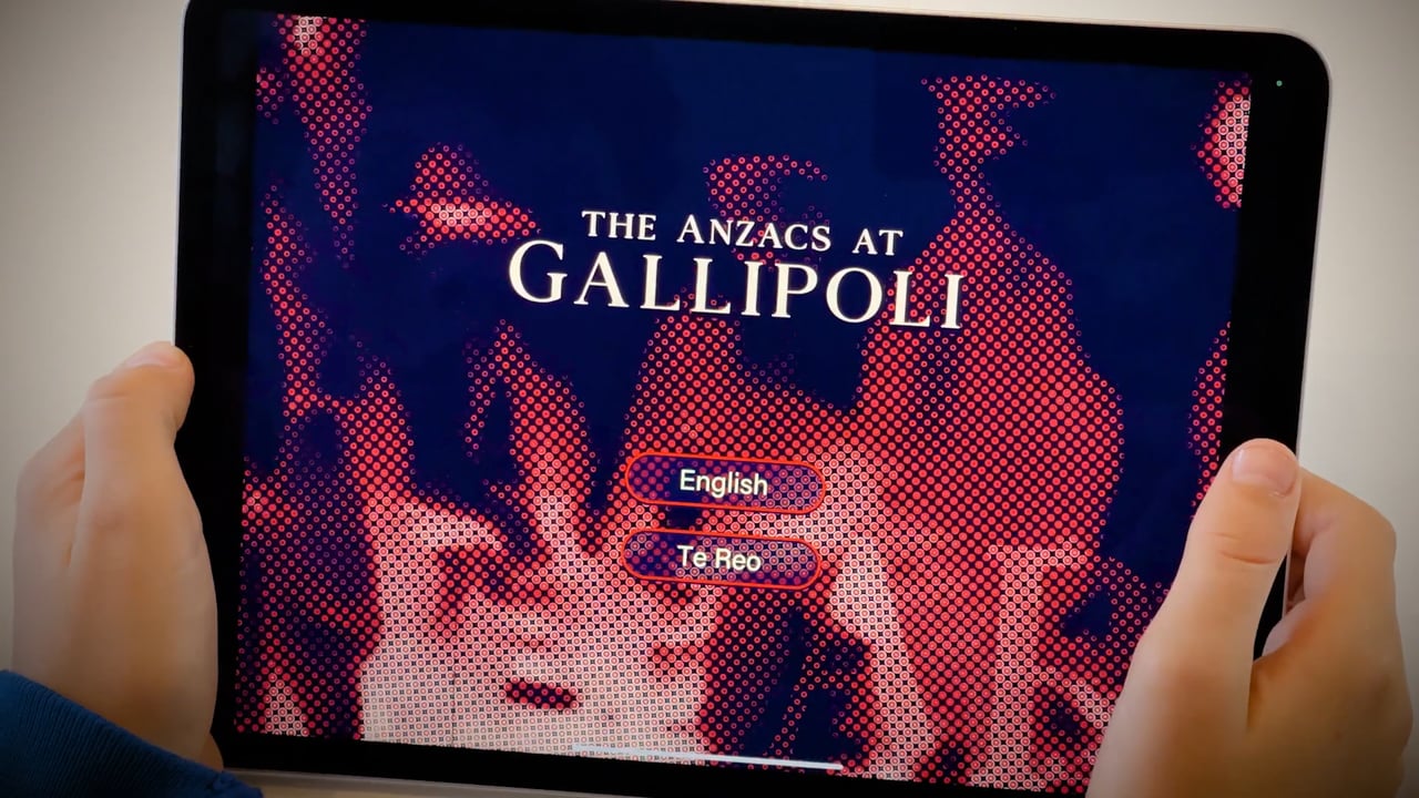
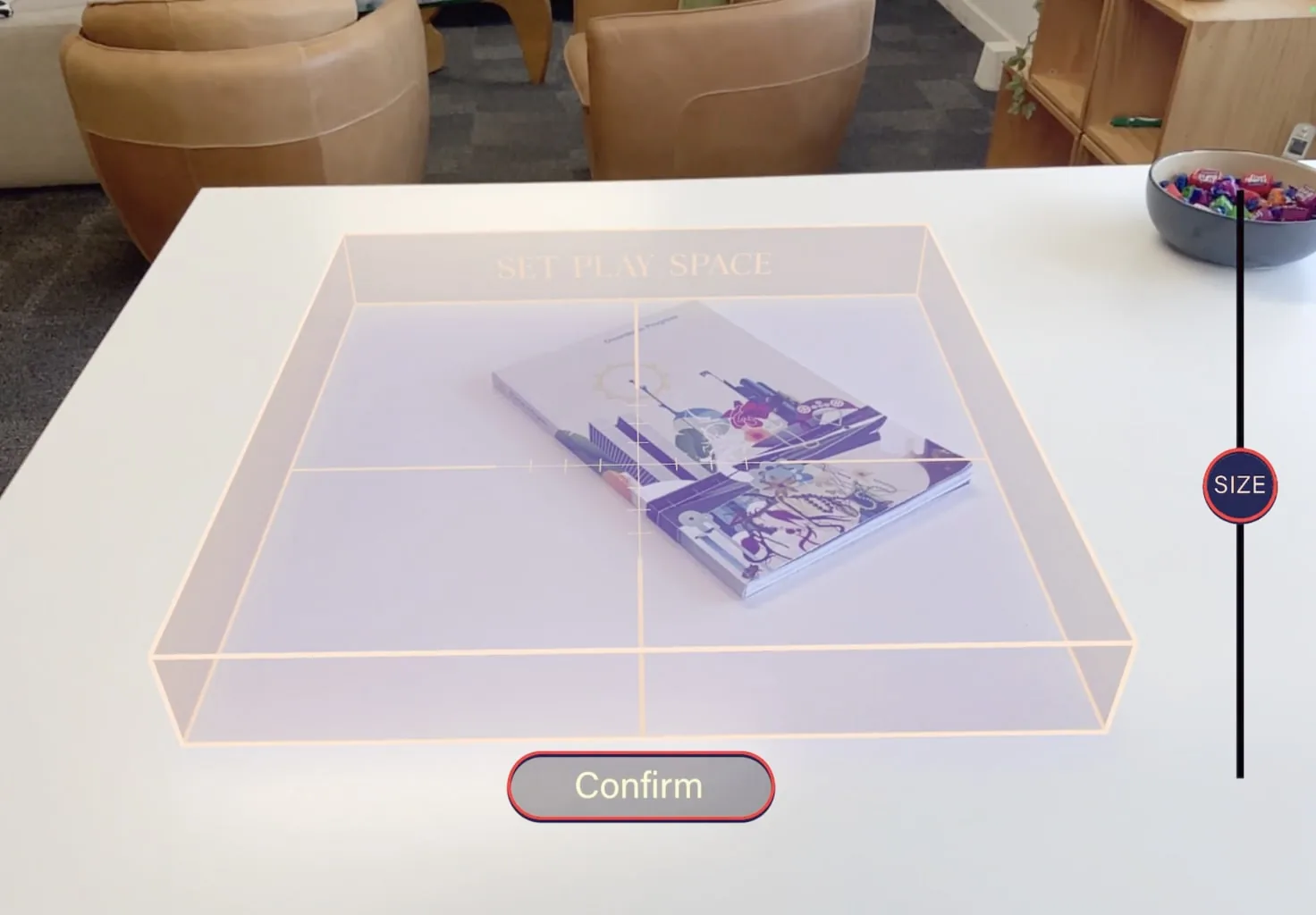
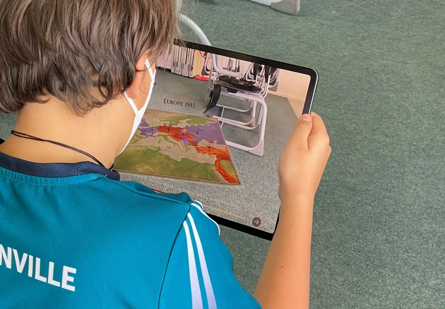
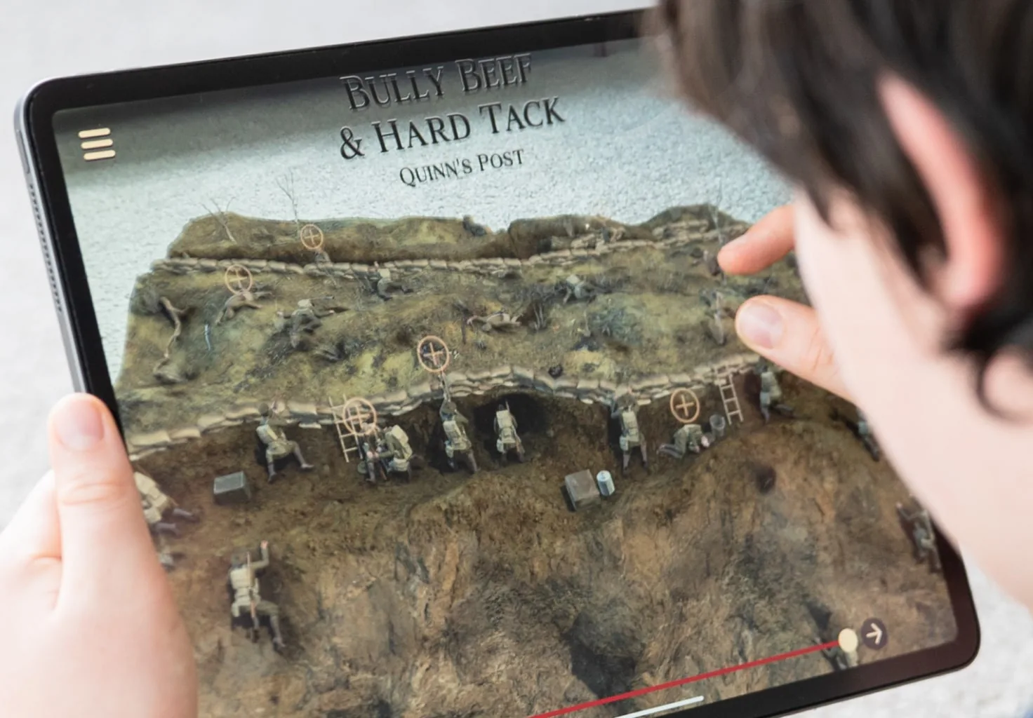
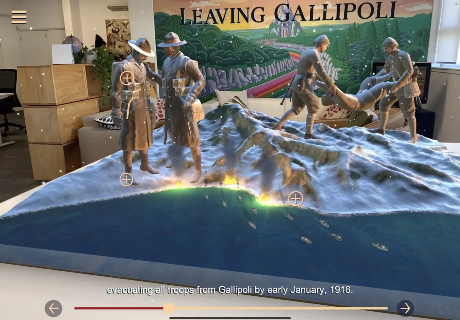
Students point the iPad at a desk or a book to set the play space, and a 3D map builds on top of it. They move through the campaign scene by scene: why the Allies attacked the Ottoman Empire, the landings, life in the trenches at Quinn’s Post, and the evacuation. Hotspots in each scene open soldiers’ own accounts, read aloud, with text and historic photos for students who want to go further.
How the app works
Six chapters on one table
- 01
Europe 1915
Why the war began, and why the Allies turned on the Ottoman Empire.
- 02
Naval Attack
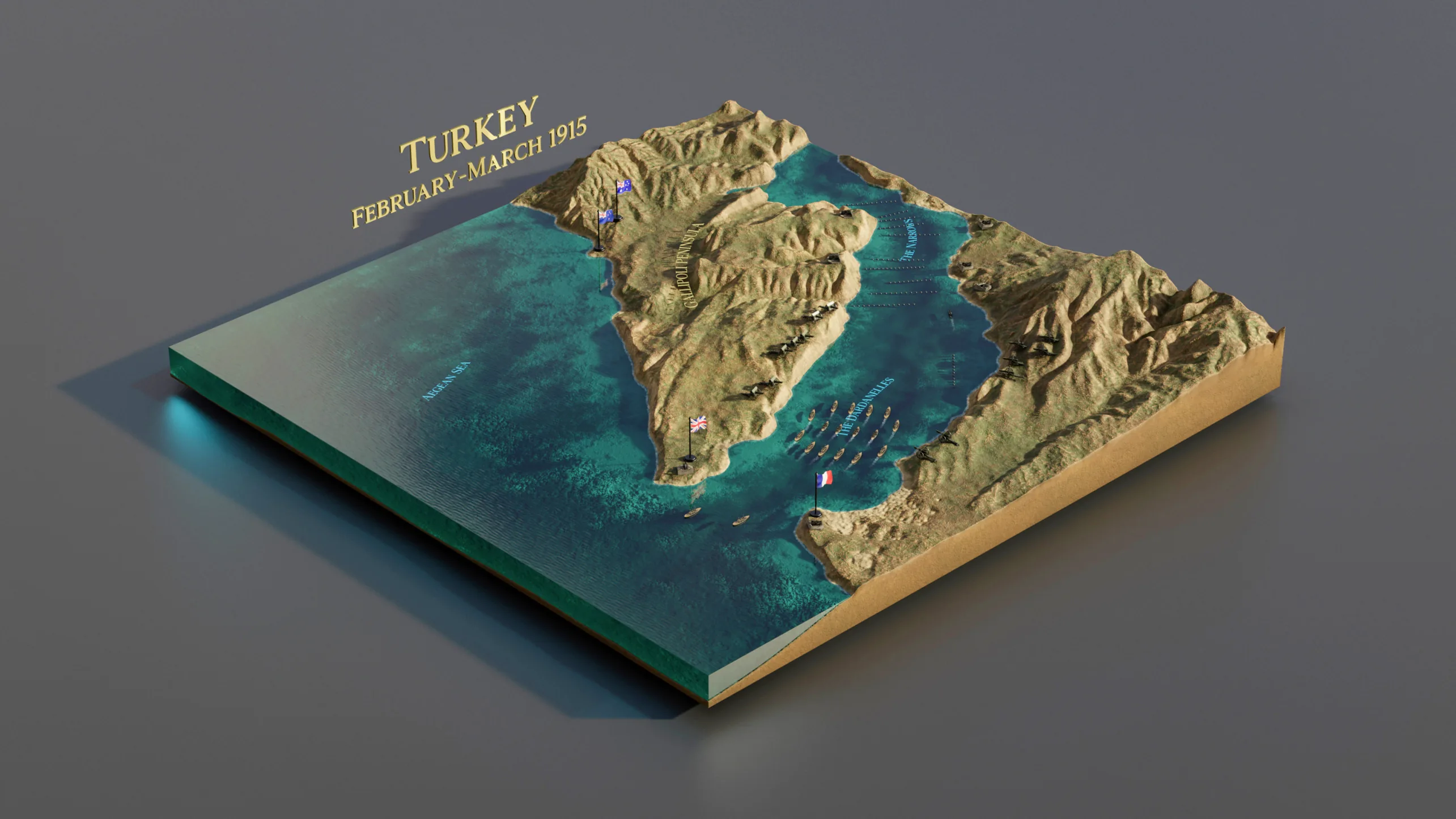
Allied warships try to force the Dardanelles in early 1915.
- 03
April 25th
At dawn, the ANZACs land on the peninsula.
Getting there · 1914 to 25 April 1915
- 04
Bully Beef & Hard Tack
Life in the trenches at Quinn’s Post, metres from the enemy line.
- 05
Chunuk Bair
The August offensive, and the New Zealanders’ fight for the summit.
- 06
Leaving Gallipoli
The secret evacuation that ended the campaign.
On the peninsula · May to December 1915
Built in 3D
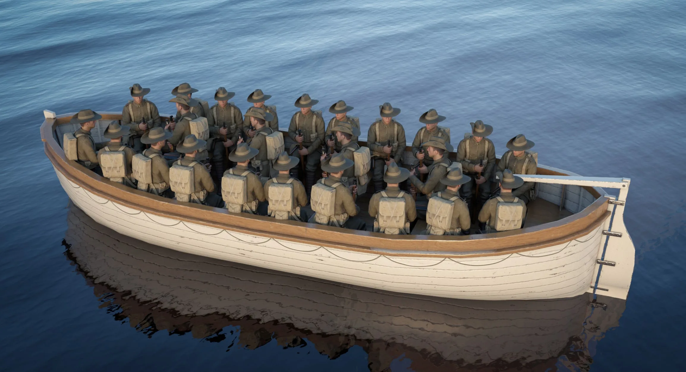
We modelled the peninsula, the ships, the ANZAC and Ottoman soldiers and their weapons, with enough detail to hold up when a student leans in close. Turn the soldiers below to see them from every side.
Tested in class
Before launch we took the beta into classrooms, including Hobsonville School, and shaped the final version around what teachers and students told us.