Putting Goodman on the map
A Waxeye case study
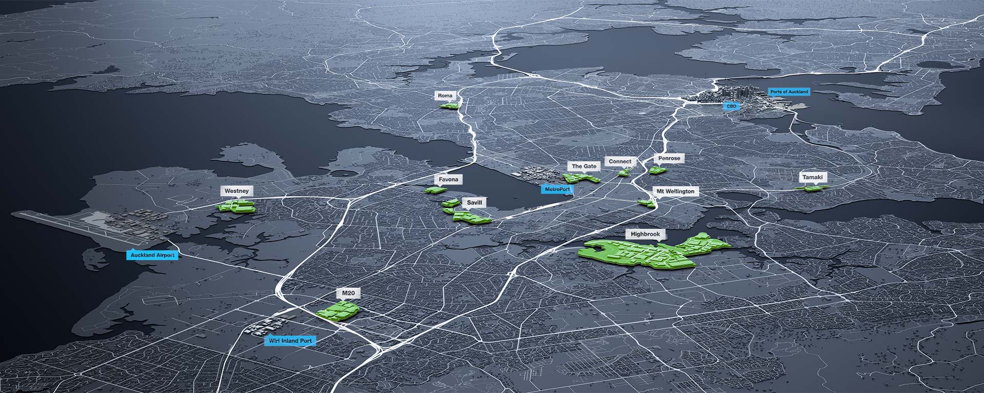
Goodman is a major player in commercial realty. With many property estates strategically placed close to key transport and service hubs, they approached us to create a map that clearly conveyed this strategic advantage in various media including print and video.
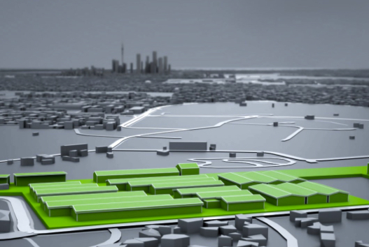
In order to meet all current and future requirements, it made sense to create the map as a digital 3D asset. Sometimes there’s no point fully reinventing the wheel though, so we leveraged a stock 3D model of Auckland city then applied a bespoke visual treatment to it. We then built 3D assets for all of the Goodman estates and designed a graphic system to cover locators, transport infrastructure, drive times and public amenities. This enables us to establish a pipeline where we can effectively lift multiple assets from one digital asset.


